Bälmeten Tour
- Robert & Melinda Schoutens
- Sep 20, 2021
- 2 min read
Updated: Sep 6, 2025
At least once a year, we, the Fresh Air Parents, arrange a weekend away or take day trips with our respective friends. Solo parent time is good for the psyche. Perhaps we want something more, an uninterrupted conversation, complete thoughts, quite view points, tough climbs, or just a good ass-kicking of a hike. The weather forecast turn my overnight plans into a day trip. So with some last minute re-tooling, a friend and I set off for Bälmeten, a 2,415m peak above Schattdorf, Uri.

This hike starts out from Haldi Lift Station (1082m) with a slow climb to Süessberg (1219m). From there, the next 3.7km ascends 774m, zig-zagging through farms, forest, shrubs, and grass. This section is on the north side of the Schwarz Grat / Bälmeten, and tends to be damp and mossy. Hence the forename of the village “Schatt“ meaning ”Shade.“ Note: you should have good treads on your shoes for this hike.
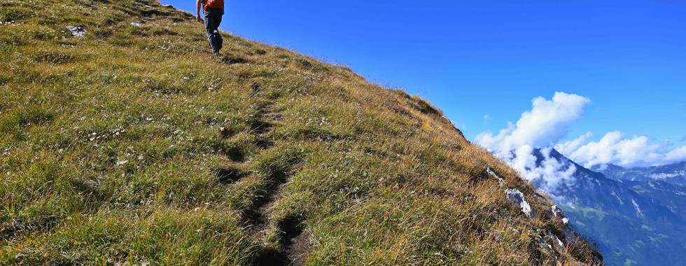
Once at Grätli (1993m), take the ridge-line toward Schwarz Grat. This is a nice deviation with great views north toward Vierwaldstättersee (Lake Luzern) and to the south towards the Gotthard pass. There are a few level areas which make it a nice place to stop for lunch. Note: there are two routes out on this point, one on the south side and ridge, and the second, which deviates from the flat picnic area alone the north side which tends to be moist and rooted. We took the ridge as it was dry.
From Schwarz Grat, we made our way up to Bälmeten. This section, changes to white-blue-white (T4), and starts off with a gradual climb on a mix of firm ground, grass, and scree. After a couple of scree sections, the trail continues up a steep section and around the east side of the ridge up to Bälmeten.
After this is a mix of grass and exposed rock, with one section (about 100-130m in length) which climbs above and over the “Bälmetentor“ (a Klettersteig) and is aided by chains. Note: this section is why I would not take my kids on this hike, and it is quite steep on both sides, so it is not recommended if you have vertigo either.
Approaching Bälmeten (2415m), the grass levels off, and is rather flat on top. There are several places to sit and grill, if desirable. The 360 degree views are fantastic!
The hike down is an easy start, heading towards Bälmeter Grätli and Butzenboden. This area has a lot of scree and karst (limestone) which makes some sections uneven, but it is a steady descent to Butzenboden and down to Pfaffenwald. At this point we were a bit sore and the last 3km to Haldi Lift Station seemed to take a long time.
Hiking Route
Waypoints: Haldi bei Schattdorf (Bergstation) - Schwandiberg - Süessberg - Grätli - Schwarz Grat - Grätli - Bälmeten - Bälmeter Grätli - Butzenboden - Pfaffenwald - Haldi bei Schattdorf (Bergstation)
Notes: Parking at the Haldi Lift Station in Schattdorf (about 6 CHF for the day), and the lift departs ever 15 minutes.


Comments